|
| *****SWAAG_ID***** | 381 |
| Date Entered | 04/12/2011 |
| Updated on | 16/01/2012 |
| Recorded by | Tim Laurie |
| Category | Tree Site Record |
| Record Type | Botanical HER |
| Site Access | Public Access Land |
| Location | MUK156 Ravine above Swinner Gill Kirk |
| Civil Parish | Muker |
| Brit. National Grid | NY 911 014 |
| Altitude | 420m |
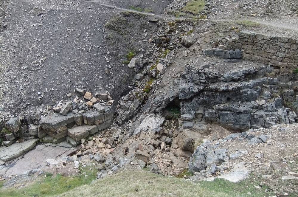
| Geology | Stream cut gorge through faulted limestone strata. |
| Record Name | MUK156 Waterfall ravine above Swinner Gill Kirk. Relict limestone woodland. |
| Record Description | Wych elms (mostly dead)with sallows, see photographs.
Vegetation not yet recorded. |
| Dimensions | See photographs |
| Geographical area | Upper Swaledale |
| Species | Wych elm |
| Scientific Name | Ulmus glabra |
| Image 1 ID | 1566 Click image to enlarge |
| Image 1 Description | Swinnergill Kirk. Faulted Limestone strata visible in beck |  |
| Image 2 ID | 1567 Click image to enlarge |
| Image 2 Description | Wych elms regenerating from previously dead stumps. |  |
| Image 3 ID | 1568 Click image to enlarge |
| Image 3 Description | Wych elms regenerating from previously dead stumps. |  |
| Image 4 ID | 1569 Click image to enlarge |
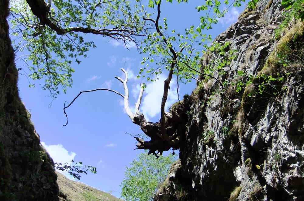
| Image 4 Description | Wych Elm at top edge of ravine. Dead. | 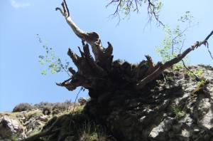 |
| Image 5 ID | 1570 Click image to enlarge |
| Image 5 Description | The waterfall at top of the ravine. | 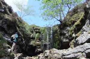 |
| Image 6 ID | 1571 Click image to enlarge |
| Image 6 Description | Hard shield fern. Polystichum aculeatum. | 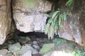 |